Geolocate

Chorillos topographic map

Click on the map to display elevation.

About this map

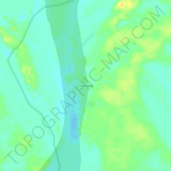
Name: Chorillos topographic map, elevation, terrain.

Location: Chorillos, Sarayacu, Ucayali, Loreto, Perú (-6.10988 -75.04206 -6.06988 -75.00206)

Average elevation: 381 ft

Minimum elevation: 351 ft

Maximum elevation: 423 ft

Gear up for your next adventure:

🥾Men's Hiking Boots - Durable, waterproof footwear for rugged terrain and steep inclines
🧦Hiking Socks - Comfortable socks to prevent blisters on long hikes
🕶️GPS Smartphone Mount - Secure mount for phone navigation
🥾Women's Hiking Boots - Top-rated trail boots with ankle support and superior grip
🧢Outdoor Hiking Hat - Sun protection hat for outdoor explorers

As an Amazon Associate, this site earns from qualifying purchases at no extra cost to you.