Geolocate

Salitran topographic map

Click on the map to display elevation.

About this map

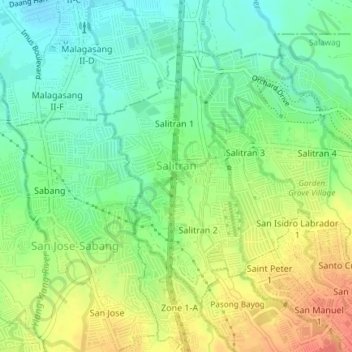
Name: Salitran topographic map, elevation, terrain.

Location: Salitran, Dasmariñas, Cavite, Calabarzon, Philippines (14.33602 120.92984 14.36212 120.96754)

Average elevation: 200 ft

Minimum elevation: 121 ft

Maximum elevation: 312 ft

Gear up for your next adventure:

🧷Carabiner Set - Durable clips for gear attachment
🛌Ultralight Sleeping Bags - Compact down bags for cold nights in the wilderness
❄️Traction Cleats - Prevent slips on icy trails during winter hikes
Backpacking Tents - Weight-optimized shelters for multi-day topographic surveys
🧦Merino Wool Socks - Moisture-wicking, blister-preventing socks for long treks

As an Amazon Associate, this site earns from qualifying purchases at no extra cost to you.