
Plaza San Martín topographic map
Interactive map
Click on the map to display elevation.
About this map
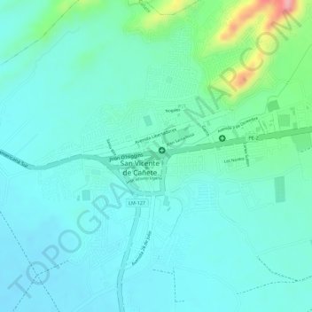
Name: Plaza San Martín topographic map, elevation, terrain.
Average elevation: 138 ft
Minimum elevation: 46 ft
Maximum elevation: 466 ft
Other topographic maps
Click on a map to view its topography, its elevation and its terrain.
Quebrada Topara
Perú > Lima > San Vicente de Cañete
Quebrada Topara, Provincia de Cañete, Lima, Perú
Average elevation: 2,119 ft