
Grandfield topographic map
Interactive map
Click on the map to display elevation.
About this map
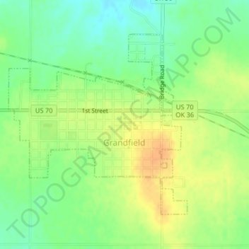
Name: Grandfield topographic map, elevation, terrain.
Location: Grandfield, Tillman County, Oklahoma, 73546, United States (34.22059 -98.69974 34.24017 -98.67531)
Average elevation: 1,115 ft
Minimum elevation: 1,063 ft
Maximum elevation: 1,165 ft
Tillman County trails, hiking, mountain biking, running and outdoor activities