Geolocate

Qasbinə topographic map

Click on the map to display elevation.

About this map

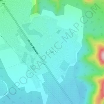
Name: Qasbinə topographic map, elevation, terrain.

Location: Qasbinə, Balakan District, Sheki-Zaqatala, Azerbaijan (41.68288 46.42960 41.70197 46.45312)

Average elevation: 1,043 ft

Minimum elevation: 889 ft

Maximum elevation: 1,795 ft

Other topographic maps

Click on a map to view its topography, its elevation and its terrain.

Shaki

Azerbaijan > Sheki-Zaqatala

Average elevation: 2,172 ft

Sheki-Zaqatala

Azerbaijan > Sheki-Zaqatala

Average elevation: 3,691 ft

Qakh District

Azerbaijan > Sheki-Zaqatala

Average elevation: 1,939 ft

Gear up for your next adventure:

Solar GPS Watches - Advanced multisport watches with built-in topographic maps
🔭Compact Binoculars - HD vision for scouting terrain and identifying distant landmarks
🔦Powerful Headlamps - Ultra-bright hands-free lighting for night navigation
👟Trail Running Shoes - Lightweight shoes for trail runners
📻Weather Alert Radios - Stay informed of storm risks while off-the-grid

As an Amazon Associate, this site earns from qualifying purchases at no extra cost to you.