Geolocate

Meredo topographic map

Click on the map to display elevation.

About this map

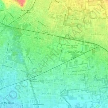
Name: Meredo topographic map, elevation, terrain.

Location: Meredo, Seveso, Monza and Brianza, Lombardy, 20821, Italy (45.62630 9.15241 45.66630 9.19241)

Average elevation: 719 ft

Minimum elevation: 656 ft

Maximum elevation: 823 ft

Gear up for your next adventure:

🧭Hiking Compass - Precision compass for reliable navigation in the wilderness
📡Handheld GPS Device - Reliable handheld GPS for outdoor navigation
🧢Sun Protection Hats - Wide-brimmed and UPF-rated hats for high-altitude sun safety
🧦Merino Wool Socks - Moisture-wicking, blister-preventing socks for long treks
📚Navigation Handbooks - Master the art of reading topographic maps and using a compass

As an Amazon Associate, this site earns from qualifying purchases at no extra cost to you.