
Make a donation
Gear up for your next adventure:
As an Amazon Associate, this site earns from qualifying purchases at no extra cost to you.
Fisher topographic map
Click on the map to display elevation.
Make a donation
Gear up for your next adventure:
As an Amazon Associate, this site earns from qualifying purchases at no extra cost to you.
About this map
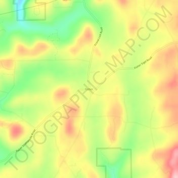
Name: Fisher topographic map, elevation, terrain.
Average elevation: 1,604 ft
Minimum elevation: 1,302 ft
Maximum elevation: 1,880 ft
Clarion County trails, hiking, mountain biking, running and outdoor activities
Make a donation
Gear up for your next adventure:
As an Amazon Associate, this site earns from qualifying purchases at no extra cost to you.
Other topographic maps
Click on a map to view its topography, its elevation and its terrain.
Make a donation
Gear up for your next adventure:
As an Amazon Associate, this site earns from qualifying purchases at no extra cost to you.
Clarion
United States > Pennsylvania > Clarion County
Clarion is located slightly northeast of the center of Clarion County at 41°12′42″N 79°23′2″W / 41.21167°N 79.38389°W / 41.21167; -79.38389 (41.211791, -79.384005), in the Allegheny Plateau region of western Pennsylvania. The main part of the borough sits at an elevation of 1,400 to 1,500…
Average elevation: 1,385 ft
Make a donation
Gear up for your next adventure:
As an Amazon Associate, this site earns from qualifying purchases at no extra cost to you.
Make a donation
Gear up for your next adventure:
As an Amazon Associate, this site earns from qualifying purchases at no extra cost to you.