
泉水沟 topographic map
Interactive map
Click on the map to display elevation.
About this map
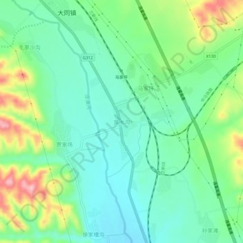
Name: 泉水沟 topographic map, elevation, terrain.
Location: 泉水沟, 永登县, 兰州市, 甘肃省, 中国 (36.57585 103.34169 36.61585 103.38169)
Average elevation: 6,444 ft
Minimum elevation: 6,273 ft
Maximum elevation: 6,834 ft
Other topographic maps
Click on a map to view its topography, its elevation and its terrain.