
Río Nansa topographic map
Interactive map
Click on the map to display elevation.
About this map
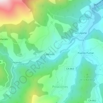
Name: Río Nansa topographic map, elevation, terrain.
Location: Río Nansa, Polaciones, Saja-Nansa, Cantabria, 39557, España (43.10632 -4.42960 43.11344 -4.40584)
Average elevation: 3,081 ft
Minimum elevation: 2,487 ft
Maximum elevation: 4,829 ft
Other topographic maps
Click on a map to view its topography, its elevation and its terrain.
Pico Cornón
España > Cantabria > Polaciones
Pico Cornón, Polaciones, Cantabria, 39573, España
Average elevation: 5,728 ft
Pico Tres Mares
España > Cantabria > Polaciones
Pico Tres Mares, Polaciones, Saja-Nansa, Cantabria, 39573, España
Average elevation: 6,037 ft