Geolocate

Balite topographic map

Click on the map to display elevation.

About this map

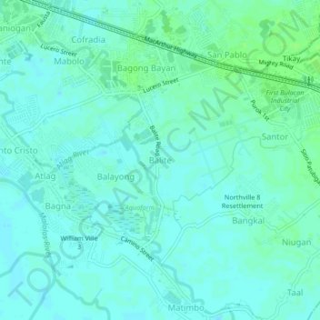
Name: Balite topographic map, elevation, terrain.

Location: Balite, Malolos, Bulacan, Central Luzon, 3015, Philippines (14.81033 120.81705 14.85033 120.85705)

Average elevation: 16 ft

Minimum elevation: 3 ft

Maximum elevation: 30 ft

Gear up for your next adventure:

🪑Portable Camp Table - Compact table for campsite meals
🌐World Map Poster - Decorative world maps with topographic info
🌡️Portable Weather Meter - Track weather conditions on the trail
📶Vehicle Signal Boosters - Improve reception in rural areas while driving to trailheads
🏕️Tent Footprint - Protect your tent base from wear

As an Amazon Associate, this site earns from qualifying purchases at no extra cost to you.