
Thank you for supporting this site ❤️
Make a donation
Make a donation
Gear up for your next adventure:
As an Amazon Associate, this site earns from qualifying purchases at no extra cost to you.
Toroño topographic map
Click on the map to display elevation.
Thank you for supporting this site ❤️
Make a donation
Make a donation
Gear up for your next adventure:
As an Amazon Associate, this site earns from qualifying purchases at no extra cost to you.
About this map
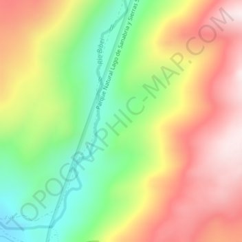
Name: Toroño topographic map, elevation, terrain.
Location: Toroño, Porto, Zamora, Castile and León, Spain (42.16906 -6.87860 42.18906 -6.85860)
Average elevation: 4,905 ft
Minimum elevation: 3,983 ft
Maximum elevation: 5,853 ft
Thank you for supporting this site ❤️
Make a donation
Make a donation
Gear up for your next adventure:
As an Amazon Associate, this site earns from qualifying purchases at no extra cost to you.