Geolocate

Bexar topographic map

Click on the map to display elevation.

About this map

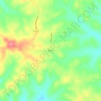
Name: Bexar topographic map, elevation, terrain.

Location: Bexar, Fulton County, Arkansas, 72515, United States (36.26673 -92.01571 36.30673 -91.97571)

Average elevation: 869 ft

Minimum elevation: 745 ft

Maximum elevation: 1,033 ft

Fulton County trails, hiking, mountain biking, running and outdoor activities

Gear up for your next adventure:

📦Gear Storage Bags - Organize and protect outdoor equipment
🪶Camping Sleeping Pad - Comfortable sleeping pad for backpacking
📷Action Cameras - Rugged cameras to document your journeys across rugged terrain
🧭Orienteering Set - Complete compass and map reading kit
🗺️NatGeo Topo Maps - High-quality waterproof printed topographic maps of US Parks

As an Amazon Associate, this site earns from qualifying purchases at no extra cost to you.