Geolocate

Dryden topographic map

Click on the map to display elevation.

About this map

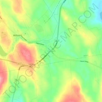
Name: Dryden topographic map, elevation, terrain.

Location: Dryden, Wilton, Franklin County, Maine, 04294, United States (44.56673 -70.22978 44.60673 -70.18978)

Average elevation: 541 ft

Minimum elevation: 361 ft

Maximum elevation: 758 ft

Franklin County trails, hiking, mountain biking, running and outdoor activities

Gear up for your next adventure:

🗺️NatGeo Topo Maps - High-quality waterproof printed topographic maps of US Parks
🥾Women's Hiking Boots - Top-rated trail boots with ankle support and superior grip
🗃️Trail First Aid Kit - Essential kit for outdoor injuries and emergencies
🧢Sun Protection Hats - Wide-brimmed and UPF-rated hats for high-altitude sun safety
🏕️Family Camping Gear - Essentials for group camping trips

As an Amazon Associate, this site earns from qualifying purchases at no extra cost to you.