
Thank you for supporting this site ❤️
Make a donation
Make a donation
Gear up for your next adventure:
As an Amazon Associate, this site earns from qualifying purchases at no extra cost to you.
Shohola topographic map
Click on the map to display elevation.
Thank you for supporting this site ❤️
Make a donation
Make a donation
Gear up for your next adventure:
As an Amazon Associate, this site earns from qualifying purchases at no extra cost to you.
About this map
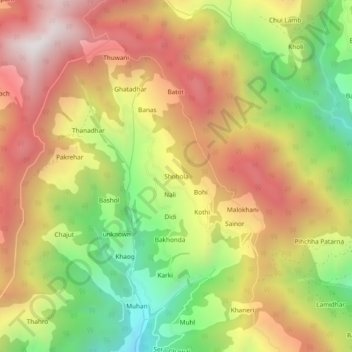
Name: Shohola topographic map, elevation, terrain.
Location: Shohola, Ani, Kullu District, Himachal Pradesh, 172026, India (31.48116 77.35396 31.52116 77.39396)
Average elevation: 7,946 ft
Minimum elevation: 5,846 ft
Maximum elevation: 9,869 ft
Thank you for supporting this site ❤️
Make a donation
Make a donation
Gear up for your next adventure:
As an Amazon Associate, this site earns from qualifying purchases at no extra cost to you.