Geolocate

Ray topographic map

Click on the map to display elevation.

About this map

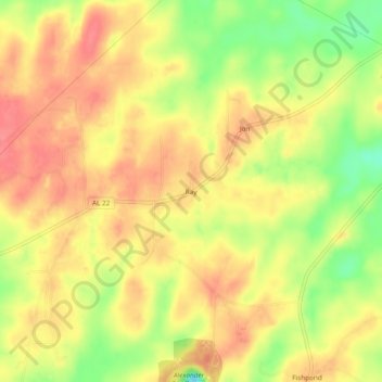
Name: Ray topographic map, elevation, terrain.

Location: Ray, Coosa County, Alabama, United States (32.86735 -86.05774 32.90735 -86.01774)

Average elevation: 702 ft

Minimum elevation: 564 ft

Maximum elevation: 781 ft

Coosa County trails, hiking, mountain biking, running and outdoor activities

Other topographic maps

Click on a map to view its topography, its elevation and its terrain.

Goodwater

United States > Alabama > Coosa County

Average elevation: 823 ft

Kellyton

United States > Alabama > Coosa County

Average elevation: 738 ft

Rockford

United States > Alabama > Coosa County

Average elevation: 725 ft

Gear up for your next adventure:

🧦Hiking Socks - Comfortable socks to prevent blisters on long hikes
🍳Camping Cook Set - Complete cookware for outdoor meals
🏕️Family Camping Gear - Essentials for group camping trips
🌲Outdoor Survival Books - Best books on survival skills
🩹Survival Bandages - High‑quality bandages for emergencies

As an Amazon Associate, this site earns from qualifying purchases at no extra cost to you.