
阿海大坝 topographic map
Interactive map
Click on the map to display elevation.
About this map
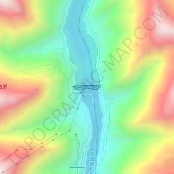
Name: 阿海大坝 topographic map, elevation, terrain.
Location: 阿海大坝, 鸣音镇, 玉龙纳西族自治县, 丽江市, 云南省, 中国 (27.34865 100.50365 27.34933 100.50836)
Average elevation: 5,768 ft
Minimum elevation: 4,590 ft
Maximum elevation: 7,470 ft
Other topographic maps
Click on a map to view its topography, its elevation and its terrain.