
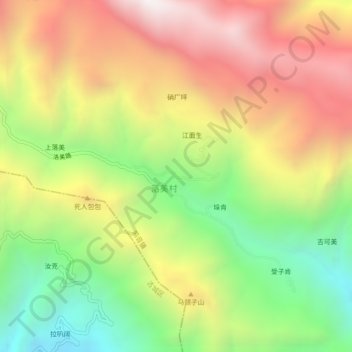
纳西 topographic map
Interactive map
Click on the map to display elevation.
About this map
Name: 纳西 topographic map, elevation, terrain.
Location: 纳西, 鸣音镇, 玉龙纳西族自治县, 丽江市, 云南省, 中国 (27.17542 100.42145 27.21542 100.46145)
Average elevation: 8,058 ft
Minimum elevation: 5,676 ft
Maximum elevation: 10,541 ft
Other topographic maps
Click on a map to view its topography, its elevation and its terrain.