Geolocate

Eagleville topographic map

Click on the map to display elevation.

About this map

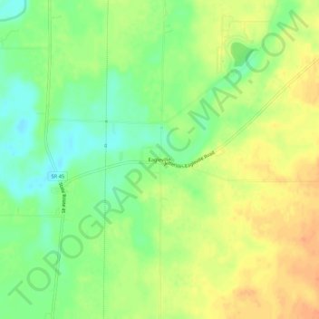
Name: Eagleville topographic map, elevation, terrain.

Location: Eagleville, Ashtabula County, Ohio, United States (41.69672 -80.85592 41.73672 -80.81592)

Average elevation: 823 ft

Minimum elevation: 758 ft

Maximum elevation: 886 ft

Ashtabula County trails, hiking, mountain biking, running and outdoor activities

Other topographic maps

Click on a map to view its topography, its elevation and its terrain.

Ashtabula

United States > Ohio > Ashtabula County

Average elevation: 656 ft

Roaming Shores

United States > Ohio > Ashtabula County

Average elevation: 883 ft

Rock Creek

United States > Ohio > Ashtabula County

Average elevation: 814 ft

Edgewood

United States > Ohio > Ashtabula County

Average elevation: 702 ft

North Kingsville

United States > Ohio > Ashtabula County

Average elevation: 650 ft

New Lyme Township

United States > Ohio > Ashtabula County

Average elevation: 994 ft

Conneaut

United States > Ohio > Ashtabula County

Average elevation: 696 ft

Jefferson

United States > Ohio > Ashtabula County

Average elevation: 935 ft

Geneva

United States > Ohio > Ashtabula County

Average elevation: 591 ft

Gear up for your next adventure:

🛶Inflatable Kayak - Portable kayak for rivers, lakes, and expeditions
❄️Traction Cleats - Prevent slips on icy trails during winter hikes
🏫Relief Map Kits - Hands-on tools for teaching landforms and elevation
🎒Day Hiking Backpack - Lightweight backpack perfect for day trips and outdoor adventures
📷Action Cameras - Rugged cameras to document your journeys across rugged terrain

As an Amazon Associate, this site earns from qualifying purchases at no extra cost to you.