Geolocate

Shibleys Point topographic map

Click on the map to display elevation.

About this map

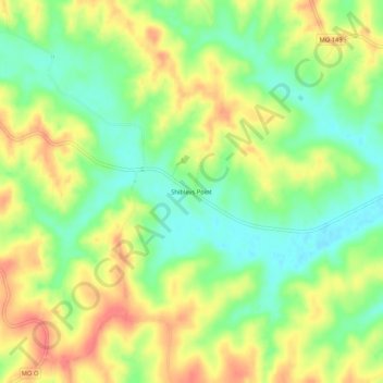
Name: Shibleys Point topographic map, elevation, terrain.

Location: Shibleys Point, Adair County, Missouri, United States (40.29336 -92.78103 40.33336 -92.74103)

Average elevation: 883 ft

Minimum elevation: 784 ft

Maximum elevation: 984 ft

Adair County trails, hiking, mountain biking, running and outdoor activities

Other topographic maps

Click on a map to view its topography, its elevation and its terrain.

Brashear

United States > Missouri > Adair County

Average elevation: 843 ft

Novinger

United States > Missouri > Adair County

Average elevation: 797 ft

Gibbs

United States > Missouri > Adair County

Average elevation: 896 ft

Gear up for your next adventure:

📚Navigation Handbooks - Master the art of reading topographic maps and using a compass
🛌Ultralight Sleeping Bags - Compact down bags for cold nights in the wilderness
🔌USB Car Charger - Car charger for on‑the‑go power needs
🥤Water Filter Bottle - All‑in‑one filter bottle for safe hydration
🔥Plasma Lighters - Windproof lighters that work in any weather condition

As an Amazon Associate, this site earns from qualifying purchases at no extra cost to you.