
Thank you for supporting this site ❤️
Make a donation
Make a donation
Gear up for your next adventure:
As an Amazon Associate, this site earns from qualifying purchases at no extra cost to you.
Beshtasheni topographic map
Click on the map to display elevation.
Thank you for supporting this site ❤️
Make a donation
Make a donation
Gear up for your next adventure:
As an Amazon Associate, this site earns from qualifying purchases at no extra cost to you.
About this map
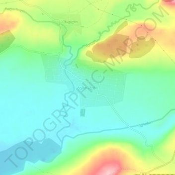
Name: Beshtasheni topographic map, elevation, terrain.
Location: Beshtasheni, Tsalka Municipality, Lower Kartli, 5300, Georgia (41.61689 44.09586 41.65689 44.13586)
Average elevation: 5,112 ft
Minimum elevation: 4,928 ft
Maximum elevation: 5,495 ft
Thank you for supporting this site ❤️
Make a donation
Make a donation
Gear up for your next adventure:
As an Amazon Associate, this site earns from qualifying purchases at no extra cost to you.