Geolocate

Hanska topographic map

Interactive map

Click on the map to display elevation.

About this map

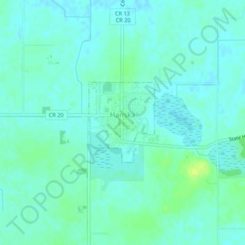
Name: Hanska topographic map, elevation, terrain.

Location: Hanska, Brown County, Minnesota, United States (44.14359 -94.49932 44.15245 -94.48905)

Average elevation: 1,010 ft

Minimum elevation: 994 ft

Maximum elevation: 1,043 ft

Other topographic maps

Click on a map to view its topography, its elevation and its terrain.

Sleepy Eye

United States > Minnesota > Brown County

Sleepy Eye, Brown County, Minnesota, United States

Average elevation: 1,017 ft

Springfield

United States > Minnesota > Brown County

Springfield, Brown County, Minnesota, United States

Average elevation: 1,053 ft

Evan

United States > Minnesota > Brown County

Evan, Brown County, Minnesota, United States

Average elevation: 1,027 ft

New Ulm

United States > Minnesota > Brown County

New Ulm, Brown County, Minnesota, 56073, United States

Average elevation: 912 ft

Cobden

United States > Minnesota > Brown County

Cobden, Brown County, Minnesota, United States

Average elevation: 1,027 ft

Comfrey

United States > Minnesota > Brown County

Comfrey, Brown County, Minnesota, United States

Average elevation: 1,129 ft