Geolocate

Correll topographic map

Click on the map to display elevation.

About this map

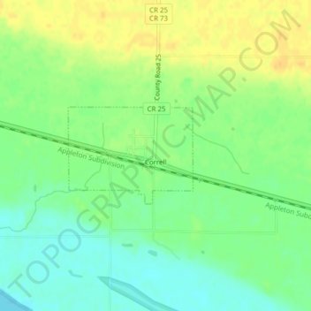
Name: Correll topographic map, elevation, terrain.

Location: Correll, Big Stone County, Minnesota, United States (45.22714 -96.17029 45.23557 -96.15488)

Average elevation: 981 ft

Minimum elevation: 935 ft

Maximum elevation: 1,030 ft

Big Stone County trails, hiking, mountain biking, running and outdoor activities

Gear up for your next adventure:

👟Men's Trail Runners - Lightweight footwear for fast-paced exploration and light hiking
🔦Powerful Headlamps - Ultra-bright hands-free lighting for night navigation
🦶Hiking Gaiters - Keep debris and water out of your boots
🩹Survival Bandages - High‑quality bandages for emergencies
🥘Titanium Cookware - Durable, featherlight pots and pans for backpacking

As an Amazon Associate, this site earns from qualifying purchases at no extra cost to you.