
Midkiff topographic map
Click on the map to display elevation.
Midkiff
Midkiff is a T-shaped unincorporated desert village in northeastern Midland County, Texas, United States. It lies along RM 2401 and FM 3095, north of the city of Rankin, the county seat of Upton County. Its elevation is 2,736 feet (834 m). It has a post office, serving the ZIP code of 79755; the ZCTA for ZIP Code 79755 had a population of 245 at the 2000 census.
About this map
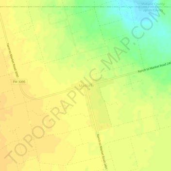
Name: Midkiff topographic map, elevation, terrain.
Location: Midkiff, Upton County, Texas, 79755, United States (31.61291 -101.85985 31.65291 -101.81985)
Average elevation: 2,730 ft
Minimum elevation: 2,671 ft
Maximum elevation: 2,749 ft
Upton County trails, hiking, mountain biking, running and outdoor activities