
Medha topographic map
Click on the map to display elevation.
About this map
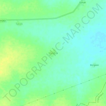
Name: Medha topographic map, elevation, terrain.
Location: Medha, Bhiwapur Taluka, Nagpur, Maharashtra, India (20.69038 79.44317 20.73038 79.48317)
Average elevation: 869 ft
Minimum elevation: 840 ft
Maximum elevation: 902 ft