Geolocate

Gemeinde Rastenfeld topographic map

Interactive map

Click on the map to display elevation.

About this map

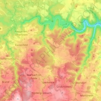
Name: Gemeinde Rastenfeld topographic map, elevation, terrain.

Location: Gemeinde Rastenfeld, Bezirk Krems, Lower Austria, 3532, Austria (48.52305 15.30745 48.61321 15.42714)

Average elevation: 1,854 ft

Minimum elevation: 1,224 ft

Maximum elevation: 2,398 ft

Other topographic maps

Click on a map to view its topography, its elevation and its terrain.

Gemeinde Dürnstein

Austria > Lower Austria > Bezirk Krems

Gemeinde Dürnstein, Bezirk Krems, Lower Austria, 3601, Austria

Average elevation: 1,253 ft

Rastenfeld

Austria > Lower Austria > Bezirk Krems > Gemeinde Rastenfeld

Rastenfeld, Gemeinde Rastenfeld, Bezirk Krems, Lower Austria, 3532, Austria

Average elevation: 1,837 ft

Klein-Wien

Austria > Lower Austria > Bezirk Krems > Gemeinde Furth bei Göttweig

Klein-Wien, Gemeinde Furth bei Göttweig, Bezirk Krems, Lower Austria, 3511, Austria

Average elevation: 1,010 ft