
Thank you for supporting this site ❤️
Make a donation
Make a donation
Gear up for your next adventure:
As an Amazon Associate, this site earns from qualifying purchases at no extra cost to you.
Telles topographic map
Click on the map to display elevation.
Thank you for supporting this site ❤️
Make a donation
Make a donation
Gear up for your next adventure:
As an Amazon Associate, this site earns from qualifying purchases at no extra cost to you.
About this map
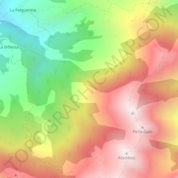
Name: Telles topographic map, elevation, terrain.
Location: Telles, La Felguerina, Caso, Asturies, 33990, Espagne (43.12976 -5.37028 43.14976 -5.35028)
Average elevation: 3,963 ft
Minimum elevation: 2,195 ft
Maximum elevation: 5,545 ft
Thank you for supporting this site ❤️
Make a donation
Make a donation
Gear up for your next adventure:
As an Amazon Associate, this site earns from qualifying purchases at no extra cost to you.