
Gunung Raung topographic map
Click on the map to display elevation.
About this map
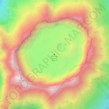
Name: Gunung Raung topographic map, elevation, terrain.
Location: Gunung Raung, Bondowoso, East Java, Indonesia (-8.11969 114.05498 -8.11959 114.05508)
Average elevation: 9,760 ft
Minimum elevation: 8,327 ft
Maximum elevation: 10,778 ft