Geolocate

El Largo topographic map

Click on the map to display elevation.

About this map

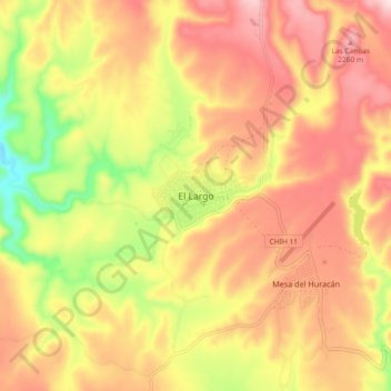
Name: El Largo topographic map, elevation, terrain.

Location: El Largo, Madera, Chihuahua, Mexico (29.64659 -108.31782 29.72659 -108.23782)

Average elevation: 7,103 ft

Minimum elevation: 6,503 ft

Maximum elevation: 7,549 ft

Other topographic maps

Click on a map to view its topography, its elevation and its terrain.

A. el Corte

Mexico > Chihuahua > Madera

Average elevation: 7,182 ft

Gear up for your next adventure:

🥩Freeze-Dried Meals - Nutritious and lightweight food for remote expeditions
🎒Hydration Pack - Hands‑free water reservoir for long hikes
👟Trail Running Shoes - Lightweight shoes for trail runners
Solar GPS Watches - Advanced multisport watches with built-in topographic maps
🧦Merino Wool Socks - Moisture-wicking, blister-preventing socks for long treks

As an Amazon Associate, this site earns from qualifying purchases at no extra cost to you.