
Coal Creek topographic map
Interactive map
Click on the map to display elevation.
About this map
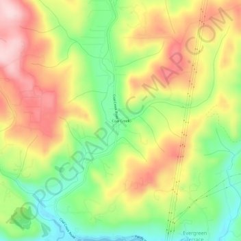
Name: Coal Creek topographic map, elevation, terrain.
Location: Coal Creek, Cowlitz County, Washington, United States (46.18011 -123.03678 46.22011 -122.99678)
Average elevation: 433 ft
Minimum elevation: -3 ft
Maximum elevation: 892 ft
Cowlitz County trails, hiking, mountain biking, running and outdoor activities
Other topographic maps
Click on a map to view its topography, its elevation and its terrain.