
Thank you for supporting this site ❤️
Make a donation
Make a donation
Gear up for your next adventure:
As an Amazon Associate, this site earns from qualifying purchases at no extra cost to you.
Sallama topographic map
Click on the map to display elevation.
Thank you for supporting this site ❤️
Make a donation
Make a donation
Gear up for your next adventure:
As an Amazon Associate, this site earns from qualifying purchases at no extra cost to you.
About this map
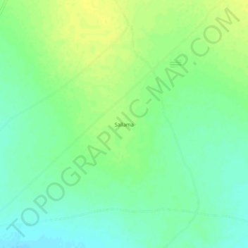
Name: Sallama topographic map, elevation, terrain.
Location: Sallama, Abu Zabad - أبو زبد, West Kordufan, Sudan (12.76428 29.63340 12.80428 29.67340)
Average elevation: 2,106 ft
Minimum elevation: 2,073 ft
Maximum elevation: 2,133 ft
Thank you for supporting this site ❤️
Make a donation
Make a donation
Gear up for your next adventure:
As an Amazon Associate, this site earns from qualifying purchases at no extra cost to you.