
Make a donation
Gear up for your next adventure:
As an Amazon Associate, this site earns from qualifying purchases at no extra cost to you.
Ponnavarai topographic map
Click on the map to display elevation.
Make a donation
Gear up for your next adventure:
As an Amazon Associate, this site earns from qualifying purchases at no extra cost to you.
About this map
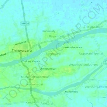
Name: Ponnavarai topographic map, elevation, terrain.
Location: Ponnavarai, Thiruvaiyaru, Thanjavur, Tamil Nadu, 613204, India (10.85848 79.09602 10.89848 79.13602)
Average elevation: 138 ft
Minimum elevation: 121 ft
Maximum elevation: 157 ft
Make a donation
Gear up for your next adventure:
As an Amazon Associate, this site earns from qualifying purchases at no extra cost to you.
Other topographic maps
Click on a map to view its topography, its elevation and its terrain.
Thiruvaiyaru
India > Tamil Nadu > Thiruvaiyaru
Thiruvaiyaru is located at 10°53′N 79°06′E / 10.88°N 79.1°E / 10.88; 79.1. It has an average elevation of 38 metres (124 feet).
Average elevation: 138 ft