
District 4 topographic map
Click on the map to display elevation.
About this map
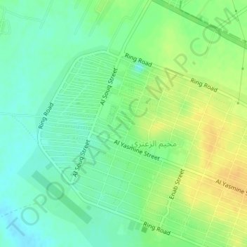
Name: District 4 topographic map, elevation, terrain.
Average elevation: 2,146 ft
Minimum elevation: 2,106 ft
Maximum elevation: 2,192 ft
Other topographic maps
Click on a map to view its topography, its elevation and its terrain.
Al Zaatari Refugee Camp
Jordan > Mafraq > Badiah Shamaliyah Gharbiyah Sub-District
Average elevation: 2,149 ft
Thughrat al Jubb
Jordan > Mafraq > Badiah Shamaliyah Gharbiyah Sub-District
Average elevation: 2,244 ft