
Proddatur topographic map
Click on the map to display elevation.
About this map
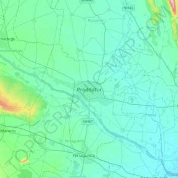
Name: Proddatur topographic map, elevation, terrain.
Location: Proddatur, YSR, Andhra Pradesh, 516360, India (14.59560 78.39015 14.91560 78.71015)
Average elevation: 551 ft
Minimum elevation: 427 ft
Maximum elevation: 1,532 ft