
Thank you for supporting this site ❤️
Make a donation
Make a donation
Gear up for your next adventure:
As an Amazon Associate, this site earns from qualifying purchases at no extra cost to you.
Saldet topographic map
Click on the map to display elevation.
Thank you for supporting this site ❤️
Make a donation
Make a donation
Gear up for your next adventure:
As an Amazon Associate, this site earns from qualifying purchases at no extra cost to you.
About this map
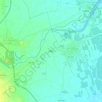
Name: Saldet topographic map, elevation, terrain.
Location: Saldet, Ventalló, Alto Ampurdán, Gerona, Cataluña, 17137, España (42.15081 3.04268 42.19081 3.08268)
Average elevation: 20 ft
Minimum elevation: -7 ft
Maximum elevation: 59 ft
Thank you for supporting this site ❤️
Make a donation
Make a donation
Gear up for your next adventure:
As an Amazon Associate, this site earns from qualifying purchases at no extra cost to you.