
Thank you for supporting this site ❤️
Make a donation
Make a donation
Gear up for your next adventure:
As an Amazon Associate, this site earns from qualifying purchases at no extra cost to you.
Aga topographic map
Click on the map to display elevation.
Thank you for supporting this site ❤️
Make a donation
Make a donation
Gear up for your next adventure:
As an Amazon Associate, this site earns from qualifying purchases at no extra cost to you.
About this map
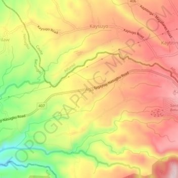
Name: Aga topographic map, elevation, terrain.
Location: Aga, Nasugbu, Batangas, Calabarzon, 4231, Philippines (14.07672 120.78155 14.11672 120.82155)
Average elevation: 1,142 ft
Minimum elevation: 538 ft
Maximum elevation: 1,562 ft
Thank you for supporting this site ❤️
Make a donation
Make a donation
Gear up for your next adventure:
As an Amazon Associate, this site earns from qualifying purchases at no extra cost to you.