
青莲镇 topographic map
Interactive map
Click on the map to display elevation.
About this map
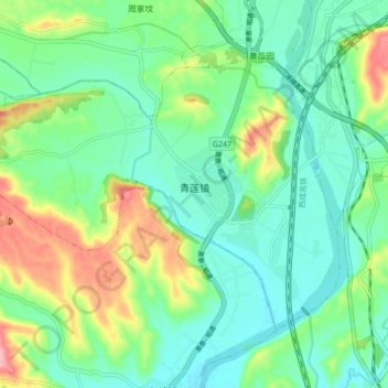
Name: 青莲镇 topographic map, elevation, terrain.
Location: 青莲镇, 江油市, 绵阳市, 四川省, 中国 (31.65017 104.62391 31.70145 104.70963)
Average elevation: 1,713 ft
Minimum elevation: 1,585 ft
Maximum elevation: 2,018 ft
Other topographic maps
Click on a map to view its topography, its elevation and its terrain.