Geolocate

Loco topographic map

Click on the map to display elevation.

About this map

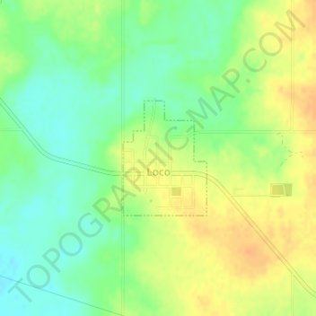
Name: Loco topographic map, elevation, terrain.

Location: Loco, Stephens County, Oklahoma, United States (34.32551 -97.68485 34.33532 -97.67616)

Average elevation: 945 ft

Minimum elevation: 889 ft

Maximum elevation: 997 ft

Stephens County trails, hiking, mountain biking, running and outdoor activities

Other topographic maps

Click on a map to view its topography, its elevation and its terrain.

Countyline

United States > Oklahoma > Stephens County

Average elevation: 1,017 ft

Gear up for your next adventure:

🪶Trail Camera - Capture wildlife on your hikes
🥾Women's Hiking Boots - Top-rated trail boots with ankle support and superior grip
🪶Thermal Camp Blanket - Extra warmth for cold nights
🥘Titanium Cookware - Durable, featherlight pots and pans for backpacking
☀️Outdoor Sunscreen - High protection sunscreen for outdoor activities

As an Amazon Associate, this site earns from qualifying purchases at no extra cost to you.