
Tepal topographic map
Click on the map to display elevation.
About this map
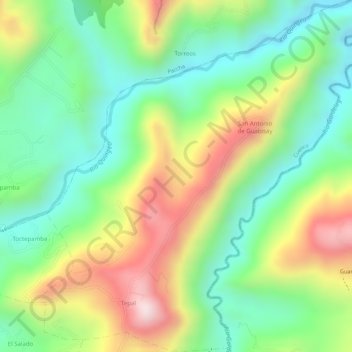
Name: Tepal topographic map, elevation, terrain.
Location: Tepal, Santa Ana, Cuenca, Azuay, Ecuador (-2.92930 -78.92341 -2.90175 -78.89616)
Average elevation: 8,727 ft
Minimum elevation: 8,156 ft
Maximum elevation: 9,531 ft