Geolocate

Chavel topographic map

Click on the map to display elevation.

👉 Easily get elevation data in JSON, GeoTIFF and KML formats using Elevation API
Thank you for supporting this site ❤️
Make a donation

About this map

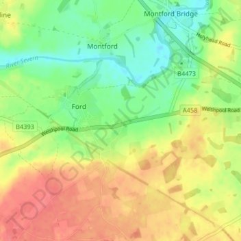
Name: Chavel topographic map, elevation, terrain.

Location: Chavel, Ford, Shropshire, England, SY5 9LB, United Kingdom (52.69460 -2.87641 52.73460 -2.83641)

Average elevation: 272 ft

Minimum elevation: 174 ft

Maximum elevation: 374 ft

Gear up for your next adventure:

🌄Hiking Binoculars - Compact binoculars for scenic views and trail spotting
🧭GPS Watch Accessories - Bands and chargers for GPS watches
📚Navigation Handbooks - Master the art of reading topographic maps and using a compass
🧺Microfiber Travel Towels - Compact and fast-drying towels for trail use
👟Men's Trail Runners - Lightweight footwear for fast-paced exploration and light hiking

As an Amazon Associate, this site earns from qualifying purchases at no extra cost to you.