Geolocate

Cochiti topographic map

Click on the map to display elevation.

About this map

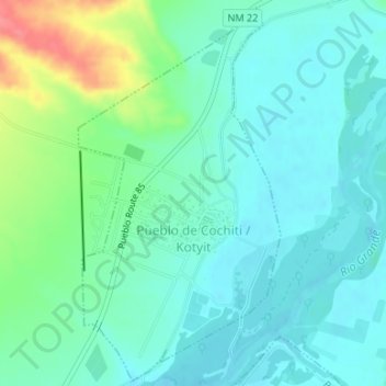
Name: Cochiti topographic map, elevation, terrain.

Location: Cochiti, Sandoval County, New Mexico, United States (35.59770 -106.35741 35.62383 -106.33999)

Average elevation: 5,272 ft

Minimum elevation: 5,213 ft

Maximum elevation: 5,456 ft

Sandoval County trails, hiking, mountain biking, running and outdoor activities

Other topographic maps

Click on a map to view its topography, its elevation and its terrain.

San Pedro Creek

United States > New Mexico > Sandoval County

Average elevation: 6,493 ft

Rio Rancho

United States > New Mexico > Sandoval County > Rio Rancho

Average elevation: 5,686 ft

Santa Ana Pueblo

United States > New Mexico > Sandoval County

Average elevation: 5,112 ft

The Monarch

United States > New Mexico > Sandoval County > Rio Rancho

Average elevation: 5,679 ft

Cochiti Lake

United States > New Mexico > Sandoval County

Average elevation: 5,522 ft

Corrales

United States > New Mexico > Sandoval County > Corrales

Average elevation: 5,033 ft

Gear up for your next adventure:

🧤Hiking Gloves - Protective gloves for rugged trails
📡GPS Antenna Upgrade - Enhance GPS reception in remote terrain
🔥Camping Stove - Portable stove for camping and backcountry cooking
🌧️Backpack Rain Cover - Keep gear dry in wet weather
🚁Photography Drones - Capture stunning aerial views of landforms and topography

As an Amazon Associate, this site earns from qualifying purchases at no extra cost to you.