Geolocate

Low Moor topographic map

Click on the map to display elevation.

About this map

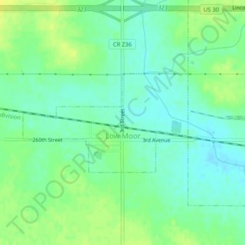
Name: Low Moor topographic map, elevation, terrain.

Location: Low Moor, Clinton County, Iowa, 52757, United States (41.79755 -90.36955 41.80846 -90.34514)

Average elevation: 650 ft

Minimum elevation: 620 ft

Maximum elevation: 682 ft

Clinton County trails, hiking, mountain biking, running and outdoor activities

Other topographic maps

Click on a map to view its topography, its elevation and its terrain.

Nancy Elaine Lake

United States > Iowa > Clinton County > Camanche

Average elevation: 600 ft

Adams Island

United States > Iowa > Clinton County

Average elevation: 587 ft

Gear up for your next adventure:

🗃️Trail First Aid Kit - Essential kit for outdoor injuries and emergencies
🧭Outdoor Navigation Book - Learn advanced navigation skills
🔥Plasma Lighters - Windproof lighters that work in any weather condition
🧥Men's Rain Shells - Premium waterproof and breathable jackets for mountain weather
📖Nature Tracking Books - Learn to track wildlife and terrain

As an Amazon Associate, this site earns from qualifying purchases at no extra cost to you.