Geolocate

Vignate topographic map

Click on the map to display elevation.

About this map

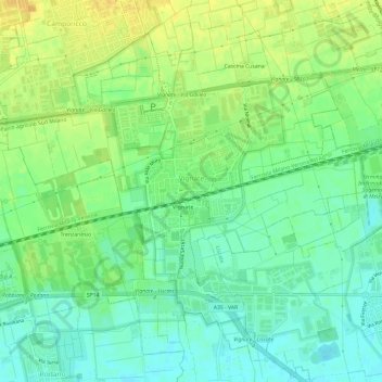
Name: Vignate topographic map, elevation, terrain.

Location: Vignate, Milan, Lombardy, 20052, Italy (45.47654 9.34766 45.51370 9.40728)

Average elevation: 394 ft

Minimum elevation: 354 ft

Maximum elevation: 443 ft

Other topographic maps

Click on a map to view its topography, its elevation and its terrain.

Milan

Italy > Lombardy > Milan > Milan

Average elevation: 427 ft

Tregarezzo

Italy > Lombardy > Milan > Segrate > San Felice

Average elevation: 377 ft

Cascina Confaloniera

Italy > Lombardy > Milan > Rosate

Average elevation: 351 ft

Vaiano Valle

Italy > Lombardy > Milan > Milan

Average elevation: 361 ft

Gear up for your next adventure:

🧥Men's Rain Shells - Premium waterproof and breathable jackets for mountain weather
🎁Geography Themed Gifts - Unique gift ideas for map lovers and geography enthusiasts
🔋Solar Power Banks - Keep your GPS and phone charged in remote wilderness areas
🧣Hiking Neck Gaiter - Multi‑use neck protection for outdoor weather
🌧️Backpack Rain Cover - Keep gear dry in wet weather

As an Amazon Associate, this site earns from qualifying purchases at no extra cost to you.