
Brinson topographic map
Click on the map to display elevation.
About this map
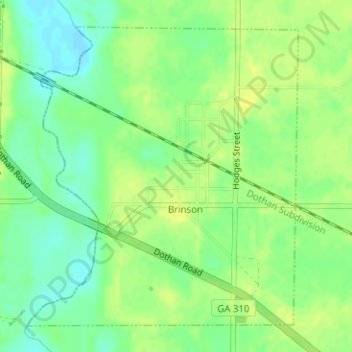
Name: Brinson topographic map, elevation, terrain.
Location: Brinson, Decatur County, Georgia, United States (30.96792 -84.75184 30.99085 -84.72758)
Average elevation: 118 ft
Minimum elevation: 82 ft
Maximum elevation: 141 ft
Decatur County trails, hiking, mountain biking, running and outdoor activities
Other topographic maps
Click on a map to view its topography, its elevation and its terrain.
Climax
United States > Georgia > Decatur County
Climax was platted in 1833, and named for its lofty elevation. The Georgia General Assembly incorporated the place in 1905 as the "Town of Climax", with the municipal corporate limits extending in a one-half mile radius from the town's central water well.
Average elevation: 295 ft