Geolocate

Borgata topographic map

Click on the map to display elevation.

About this map

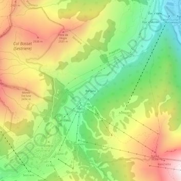
Name: Borgata topographic map, elevation, terrain.

Location: Borgata, Sestriere, Torino, Piemonte, 10058, Italia (44.95165 6.87363 44.99165 6.91363)

Average elevation: 7,005 ft

Minimum elevation: 5,171 ft

Maximum elevation: 9,199 ft

Gear up for your next adventure:

🔋Solar Power Banks - Keep your GPS and phone charged in remote wilderness areas
📡Handheld GPS Device - Reliable handheld GPS for outdoor navigation
🧯Emergency Survival Kit - All‑in‑one survival essentials for the backcountry
🥾Women's Hiking Boots - Top-rated trail boots with ankle support and superior grip
🪶Paracord Bracelet - Survival bracelet with built‑in tools

As an Amazon Associate, this site earns from qualifying purchases at no extra cost to you.