Geolocate

Medora topographic map

Click on the map to display elevation.

About this map

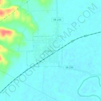
Name: Medora topographic map, elevation, terrain.

Location: Medora, Jackson County, Indiana, United States (38.82090 -86.17810 38.82930 -86.16596)

Average elevation: 538 ft

Minimum elevation: 505 ft

Maximum elevation: 702 ft

Jackson County trails, hiking, mountain biking, running and outdoor activities

Other topographic maps

Click on a map to view its topography, its elevation and its terrain.

Norman

United States > Indiana > Jackson County

Average elevation: 843 ft

Gear up for your next adventure:

🌲Outdoor Survival Books - Best books on survival skills
🔭Compact Binoculars - HD vision for scouting terrain and identifying distant landmarks
🏕️Family Camping Gear - Essentials for group camping trips
🍳Camping Cook Set - Complete cookware for outdoor meals
🔋Solar Power Banks - Keep your GPS and phone charged in remote wilderness areas

As an Amazon Associate, this site earns from qualifying purchases at no extra cost to you.