Geolocate

Shaxi topographic map

Click on the map to display elevation.

About this map

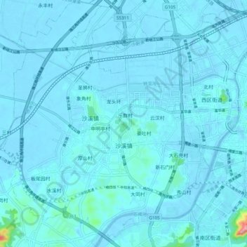
Name: Shaxi topographic map, elevation, terrain.

Location: Shaxi, Zhongshan, Guangdong, China (22.47479 113.26469 22.56347 113.34976)

Average elevation: 26 ft

Minimum elevation: -30 ft

Maximum elevation: 581 ft

Gear up for your next adventure:

🌧️Backpack Rain Cover - Keep gear dry in wet weather
🦶Hiking Gaiters - Keep debris and water out of your boots
📱Heavy-Duty Phone Cases - Drop-proof and waterproof protection for outdoor navigation
🩳Quick‑Dry Hiking Shorts - Comfortable and quick‑dry shorts for summer hiking
🔋Rechargeable Batteries - Power up your outdoor devices

As an Amazon Associate, this site earns from qualifying purchases at no extra cost to you.