
Thank you for supporting this site ❤️
Make a donation
Make a donation
Gear up for your next adventure:
As an Amazon Associate, this site earns from qualifying purchases at no extra cost to you.
Aisthofen topographic map
Click on the map to display elevation.
Thank you for supporting this site ❤️
Make a donation
Make a donation
Gear up for your next adventure:
As an Amazon Associate, this site earns from qualifying purchases at no extra cost to you.
About this map
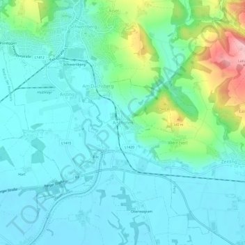
Name: Aisthofen topographic map, elevation, terrain.
Location: Aisthofen, Perg, Bezirk Perg, Upper Austria, 4320, Austria (48.23844 14.57147 48.27844 14.61147)
Average elevation: 889 ft
Minimum elevation: 781 ft
Maximum elevation: 1,306 ft
Thank you for supporting this site ❤️
Make a donation
Make a donation
Gear up for your next adventure:
As an Amazon Associate, this site earns from qualifying purchases at no extra cost to you.