Geolocate

Foresto topographic map

Click on the map to display elevation.

About this map

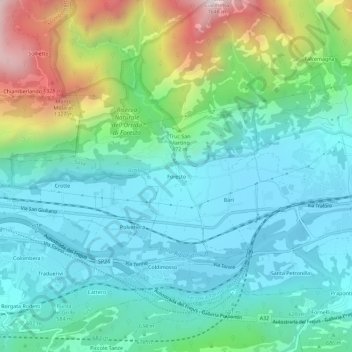
Name: Foresto topographic map, elevation, terrain.

Location: Foresto, Bussoleno, Torino, Piedmont, 10050, Italy (45.12183 7.09504 45.16183 7.13504)

Average elevation: 2,329 ft

Minimum elevation: 1,424 ft

Maximum elevation: 5,079 ft

Gear up for your next adventure:

🗻Climbing Gear Basics - Essential gear for beginner climbers
🔌Solar Panel Charger - Charge gear sustainably outdoors
🎒Outdoor Daypacks - Lightweight backpacks designed for carrying maps and essential gear
🎒Trail Energy Bars - High‑calorie bars for hiking energy
🧭Compass with Lanyard - Easy‑carry compass for navigation

As an Amazon Associate, this site earns from qualifying purchases at no extra cost to you.