Geolocate

Mount Mayapay topographic map

Click on the map to display elevation.

About this map

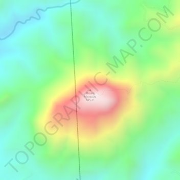
Name: Mount Mayapay topographic map, elevation, terrain.

Location: Mount Mayapay, Butuan, Caraga, Philippines (8.87828 125.46745 8.87838 125.46755)

Average elevation: 1,001 ft

Minimum elevation: 302 ft

Maximum elevation: 2,234 ft

Gear up for your next adventure:

📶Satellite Messenger - Communication device off‑grid
🚗GPS Dash Cams - Record your scenic drives through mountain passes and canyons
🌡️Portable Weather Meter - Track weather conditions on the trail
🔋Solar Power Banks - Keep your GPS and phone charged in remote wilderness areas
🧭Compass with Lanyard - Easy‑carry compass for navigation

As an Amazon Associate, this site earns from qualifying purchases at no extra cost to you.