Geolocate

Griesheim topographic map

Click on the map to display elevation.

About this map

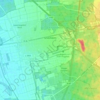
Name: Griesheim topographic map, elevation, terrain.

Location: Griesheim, Landkreis Darmstadt-Dieburg, Hesse, 64347, Germany (49.82554 8.51986 49.88342 8.60264)

Average elevation: 338 ft

Minimum elevation: 285 ft

Maximum elevation: 463 ft

Other topographic maps

Click on a map to view its topography, its elevation and its terrain.

Gear up for your next adventure:

🧭Compass with Lanyard - Easy‑carry compass for navigation
🔦Compact Flashlight - Reliable flashlight for emergencies
🪶Camp Gear Gift Set - Perfect gift bundle for outdoor fans
📚USA Hiking Guide Books - Top trail guides and map books
🏕️Tent Footprint - Protect your tent base from wear

As an Amazon Associate, this site earns from qualifying purchases at no extra cost to you.